Pacific Ocean Portal relaunched: A new era for ocean data access and regional resilience
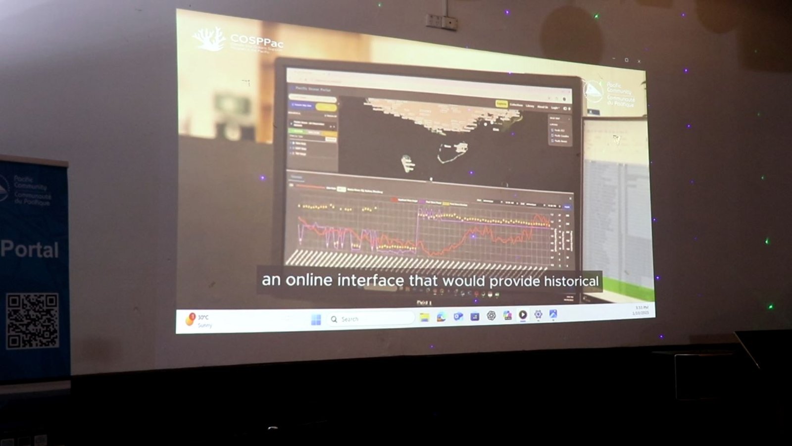
The Pacific Community (SPC), through the Climate and Oceans Support Program in the Pacific (COSPPac), proudly announces the launch of its revamped Pacific Ocean Portal—a transformative digital platform designed to empower Pacific Island nations with user-friendly, open access and actionable ocean data.
Organised on the sidelines of the Pacific Islands Ocean Conference (PIOC) taking place in Honiara, Solomon Islands, 29 September – 3 October, the event brought together M. Karl Kuper, Deputy Secretary Corporate for the Ministry of Environment, Climate Change, Disaster Management and Meteorology, representatives from the Pacific Community (SPC) and relevant stakeholders to celebrate this milestone in Pacific-led innovation and collaboration.
A Portal reimagined for the Pacific
Originally developed in 2012 by the Australian Bureau of Meteorology under COSPPac Phase 1, the Pacific Ocean Portal has been supporting informed decision-making in areas such as marine conservation, maritime safety, tourism, fisheries, and disaster resilience. It embodies COSPPac’s vision and mission to deliver climate and ocean services that are technically robust, practical, and people-centred.

“This Portal is not just a tool—it is a symbol of partnership, progress, and Pacific leadership,” said Deputy Secretary Corporate Kuper. “It empowers our communities and strengthens our resilience in the face of a changing climate.”
“The portal’s functions reflect 10 years of feedback from Pacific users. It demonstrates the scientific excellence of Pacific people. It is by the Pacific for the Pacific.” – Jens Krüger, Deputy Director – Ocean and Maritime Programme, Pacific Community.
The redeveloped Pacific Ocean Portal offers a rich array of oceanographic data tailored to the diverse needs of Pacific stakeholders. Here are some examples of what users might access:
Coastal Communities & Disaster Managers
- Sea Level Anomalies to monitor potential coastal flooding
- Tide Predictions to monitor extreme tides
- Wave Forecasts to assess impact of swell events on coastal communities
Fisheries & Marine Resource Managers
- Sea Surface Temperature (SST) forecasts for sustainable fishing.
- Chlorophyll maps to track productive zones
- Ocean currents for fish migration patterns
Maritime & Shipping Sector
- Wave and tide forecasts for safe navigation
- Wind data for efficient voyage planning
Environmental & Conservation Agencies
- Coral bleaching risk indicators and heat stress data to manage reef ecosystems.
- Ocean acidification trends
- Marine protected area monitoring
National Meteorological Services, Students & Researchers
- Historical Data Sets help analyse trends in temperature, salinity, and currents.
- Real-Time Observations access buoy and satellite data for operational forecasting.
- Custom Dashboards host and visualise national datasets securely.
Each dataset is presented through interactive maps, downloadable formats, and customisable views—making the Portal not just a data repository, but a decision-support tool for the region.
[END]– SPC
