
7.0 MAGNITUDE QUAKE REPORTED 109 MILES OFF HONIARA
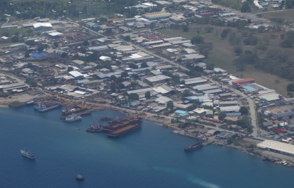
An Ariel view of Ranadi, Honiara. Photo credit: SIBC.
The Pacific Tsunami Warning Center has reported the initial measurement of today’s earthquake at 7.0 magnitude, located 109 miles west-northwest of the capital Honiara.
The Pacific Tsunami Warning Center said there was no threat of a Pacific-wide tsunami.
The earthquake was centered in the ocean, but close to several islands where tremors could be widely felt.
It was not immediately known whether the earthquake this morning had caused any damage or casualties.
Computer models from the U.S. Geological Survey (USGS) estimated that some 615,000 residents on nearby islands may have felt this morning’s earthquake, including some 19,000 people who may have felt moderate to strong shaking.
Other details in relation to damages were not immediately available.
Meanwhile, the National Disaster Management Office (NDMO) has received initial calls from villagers affected by the earthquake of 7.0 magnitude this morning.
A statement from NDMO confirms they have not reported any serious casualties.
It adds NDMO does not have any Disaster Officers from those Islands to gather information.
Meanwhile, the National Emergency Operation Centre (NEOC) Communication Team is coaching callers to put together information for a detailed report on villages and gardens.
It also advised villagers to stay alert as aftershocks can be bigger than the initial quake.
The reports will be summarised and released once the information gathered is complete.